Daily Videos of content in geospatial industry
Same challenge, different perspective!
Welcome to Geospatial Open Mic — a digital platform where you find short videos offering diverse expert insights into the geospatial industry or other content that can help you grow and develop your business or career.
Tune in for daily 8-10 minute videos from multiple leaders giving their one perspective on the same challenge. Learn, engage, and become part of a community who seeks innovative solutions.
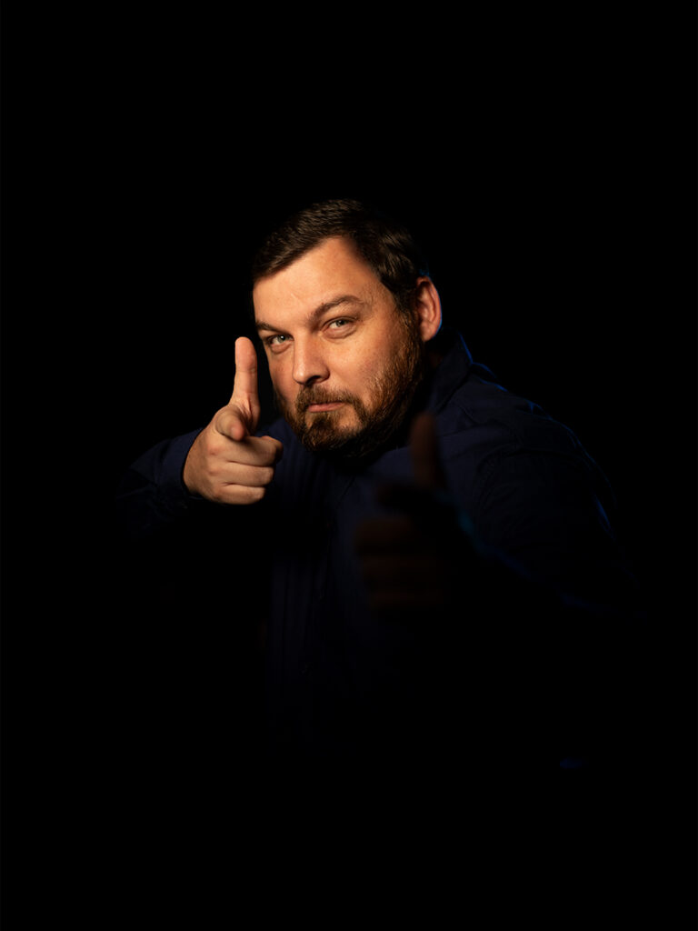
CREATOR - ANDREI OROS As the CEO of ArenaCAD, I lead a team of survey engineers and 3D laser scanning specialists with over 17 years of experience in the field.
I am passionate about providing top-notch point cloud modeling services to our clients in the construction, restoration, and maintenance industries, using the latest technologies and software tools.
My core competencies include 3D laser scanning, data processing, feature extraction, 2D and 3D modeling, and BIM. I am proficient in using TopoDOT, Revit, AutoCAD, and BIM software, and I offer technical support and training to other users in the UK and Europe.
I also have strong communication, organizational, and leadership skills, and I value collaboration and customer satisfaction. My mission is to deliver exceptional results that exceed expectations, while adhering to strict timelines and maintaining precise standards.